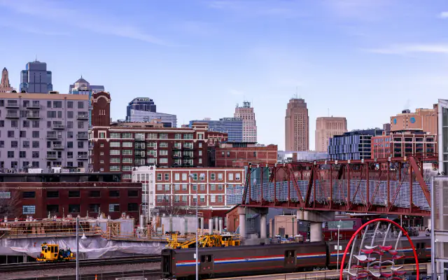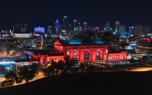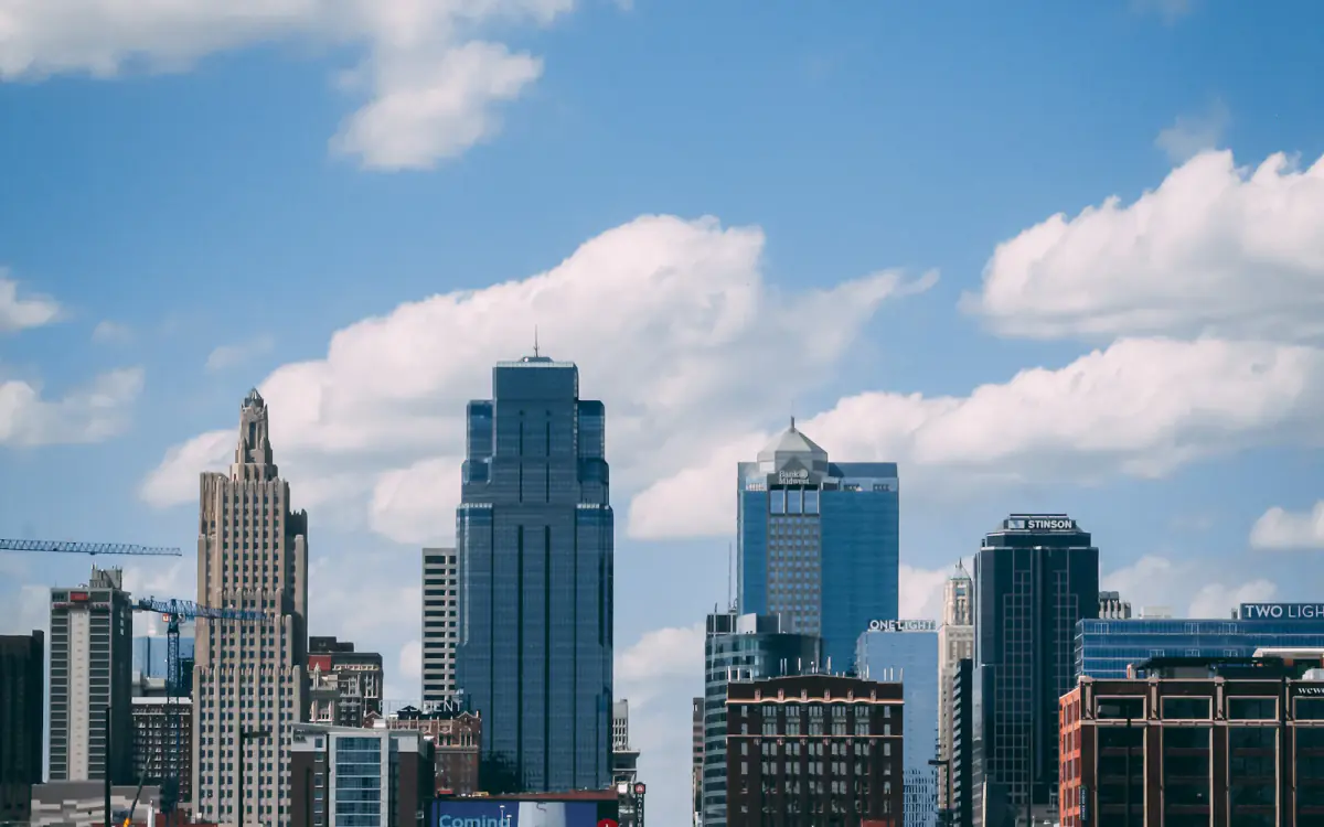
Street View vehicles have been spotted across twelve Kansas City neighbourhoods since late September, part of a refresh cycle that will replace imagery dating to 2019 in most of the metro's core.
Which areas are being re-imaged
- Downtown loop and the Crossroads
- River Market and Columbus Park
- Westport and the Plaza edge
- Northeast, including Independence Avenue
- Midtown along Main and Broadway
- Brookside, Waldo and three Johnson County corridors
The imagery typically goes live six to nine months after capture, so the new views should appear in the second half of 2027.
Why storefronts should care
Street View is not just a map curiosity. It feeds the visual layer of Google Maps listings, and the imagery is one of the signals that shows up when a customer taps a business pin. A faded sign or a boarded window from 2019 has been quietly costing some businesses clicks for six years.
Businesses can request that their own facade be re-captured through the Street View publish tool, and can blur sensitive content after the fact. The window for the free request is open now.
The privacy rules have not changed
Faces and licence plates are blurred automatically. Property owners can request additional blurring of their building, and the request persists across future captures — which is worth knowing before a refresh rather than after.
Street View is one input among many in local search, and it is a weak one on its own. But it is free, and most Kansas City businesses have not looked at their own imagery in years.

Priya Raman
Priya covers the technology layer of local business — search, e-commerce, AI and the web agencies that serve the metro.