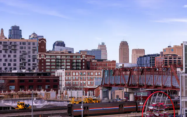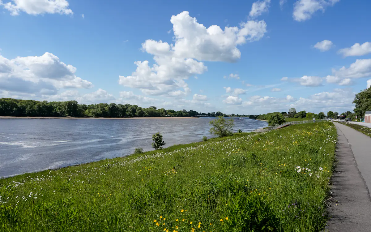
Crews began work this week on 2.3 miles of levee and floodwall along the Missouri River's north bank, the first substantial rehabilitation of the system since 2011 and the largest single flood-protection contract the metro has awarded in fifteen years.
Why now
The federal flood insurance program reclassified the levee segment in 2023, which raised insurance costs for several hundred commercial parcels behind it. The reclassification gave the levee district both a deadline and a funding argument.
The 2019 flood came within eleven inches of the design crest. A post-event inspection found seepage at three points along the wall and underseepage berms that had settled below specification.
- 2.3 miles of wall and levee rebuilt or reinforced
- Three new relief wells and a rebuilt seepage berm
- Two pump stations upgraded to 40,000 gallons per minute
- A new crest elevation of 762 feet, up from 759.5
What it means for the industrial corridor
The corridor behind the wall holds roughly 4,800 jobs in warehousing, food processing and rail-adjacent logistics. Several tenants had begun pricing flood insurance into lease negotiations, and two expansions were reportedly paused pending the reclassification.
Our tenants were not asking whether the levee would hold. They were asking what the insurance would cost if it did not.
A commercial broker active in the corridor
Timeline and disruption
Construction runs through the end of 2027. The riverfront trail between the ASB Bridge and the Heart of America Bridge will close in segments, with a signed detour posted on the street grid.
The project is funded through a combination of federal hazard mitigation money, levee district assessments and a state infrastructure grant. Total cost is $47 million.

Marisol Vega
Marisol has covered Kansas City government since 2016, with a focus on transit, land use and the city budget. She grew up in Argentine and lives in Northeast.